Popular footpath blocked at Batcombe Bottom
The much used footpath from Batcombe to Spargrove has been closed by the County Council as a...
Read More
The much used footpath from Batcombe to Spargrove has been closed by the County Council as a...
Read More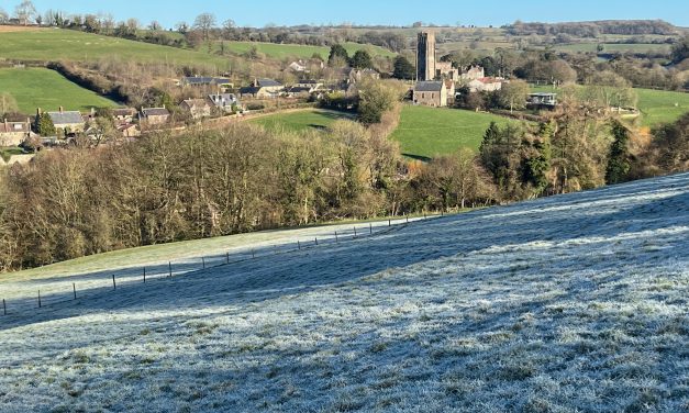
A pub walk, the quickest way to walk to Batcombe (other than along the road) and a good way of shortening other longer routes. Easy, and about 3 1/2 miles each way.
Read More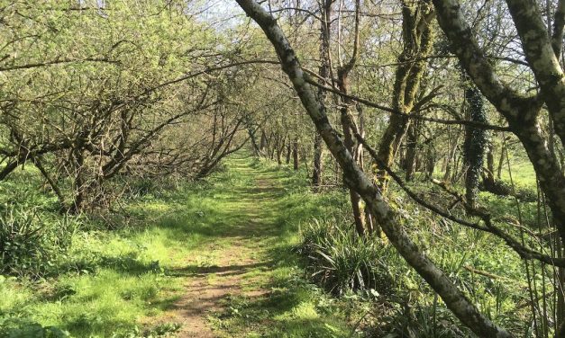
This new walk is the longest walk on the site, using less well-known routes to visit Batcombe and return via Milton Clevedon and Lamyatt. The possibility of seeing hare and deer, the certainty of good views and a pub just before the halfway mark make this a good day out. Because of its length this cannot be considered a beginner’s walk. 9 miles (14.5km), 3 hours 30 minutes to 4 hours 15 minutes, moderate.
Read More
The bridleway from Mill on the Brue over Gants Mill towards Cole and Wyke Champflower has now...
Read More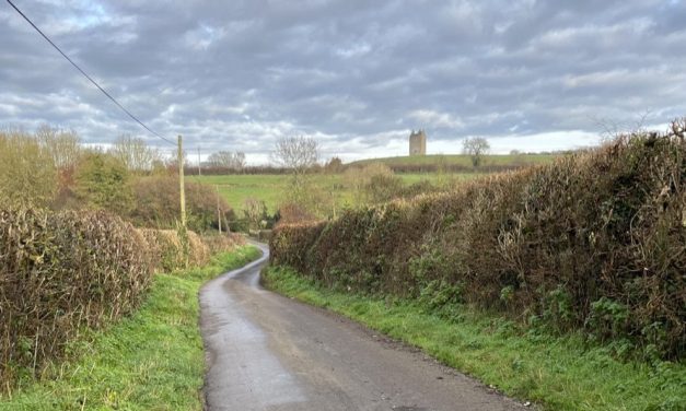
This short and easy walk takes you up Lusty Hill Lane, across fields and back via Godminster Lane. Pleasantly quiet and rural, but undemanding. 2.5 miles (4 km), 55 minutes to one hour 15 minutes, easy.
Read More